Explore the World with Google Earth
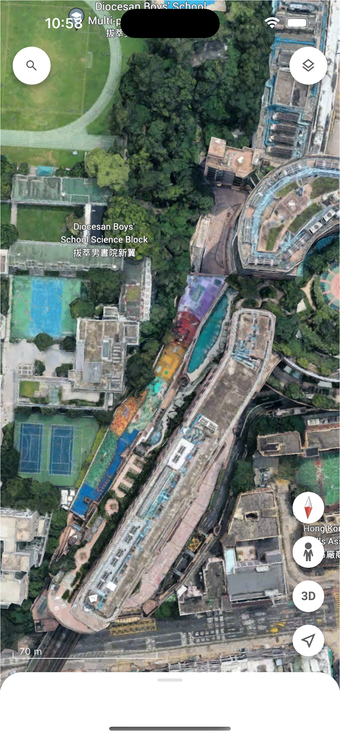
Google Earth is a powerful travel and navigation application available on iPhone that allows users to create and collaborate on immersive, data-driven maps from virtually anywhere. It features high-resolution satellite imagery that provides a stunning view of the Earth from above, enabling users to explore various geographical locations with incredible detail. The app also supports 3D terrain and buildings in hundreds of cities, making it a versatile tool for both casual exploration and serious research.
Top Recommended Alternative
In addition to aerial views, Google Earth includes Street View, which offers 360° perspectives of streets and neighborhoods. This feature enhances the user experience by allowing for a more intimate exploration of local environments. Overall, Google Earth combines advanced mapping technologies with user-friendly navigation, making it an essential tool for travelers and map enthusiasts alike.